FIREFLY TECHNICAL SERVICES LLC
Let our team make your dreams come true!
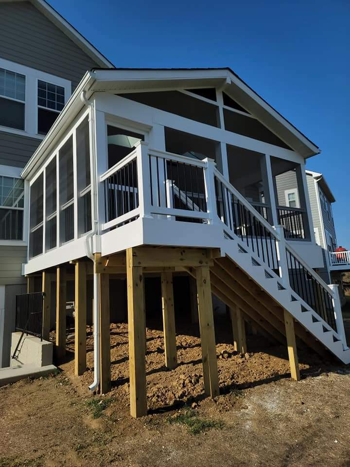
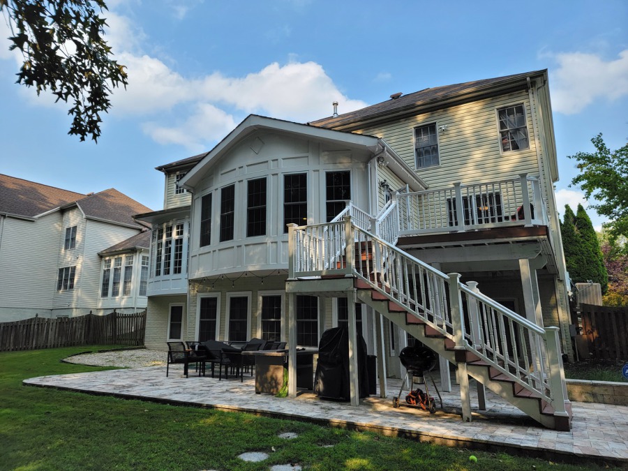
Our residential construction services are custom-tailored for owners looking to expand living areas, sunrooms, mother-in-law spaces, and storage structures. We customize plans and construction options to your exact needs.
Check out our residential construction and portfolio page for more information.
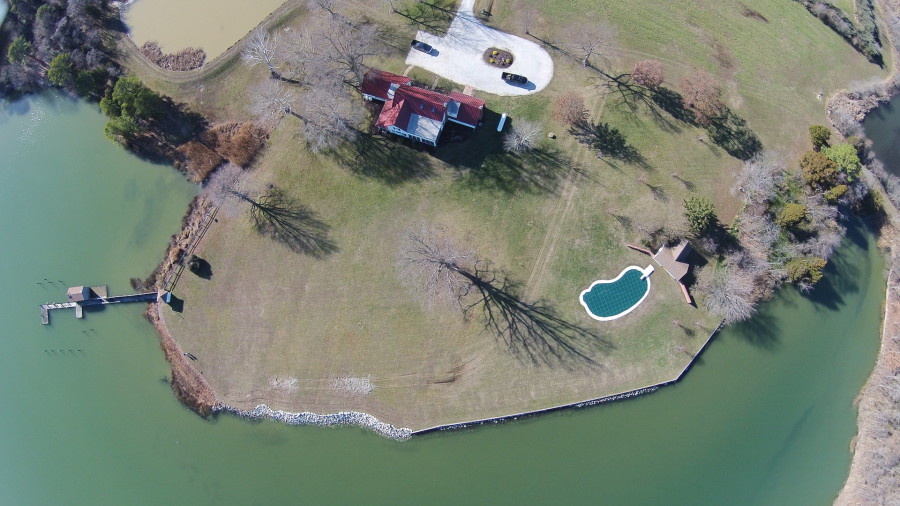
Marine Construction projects also start here with us. Check out our Marine Construction page for more information on bulkhead replacements, living shorelines, erosion protection, and pier construction.
Drop us a line about your next project!
Contact us at 410-844-1532
Joseph@firefly-technical-services.com
Check out the marine construction page for to better understand the process of constructing tidal waterway structures.

We specialize in waterfront designs for living shorelines and marina construction. We work with several barges for environmentally balanced marine construction.

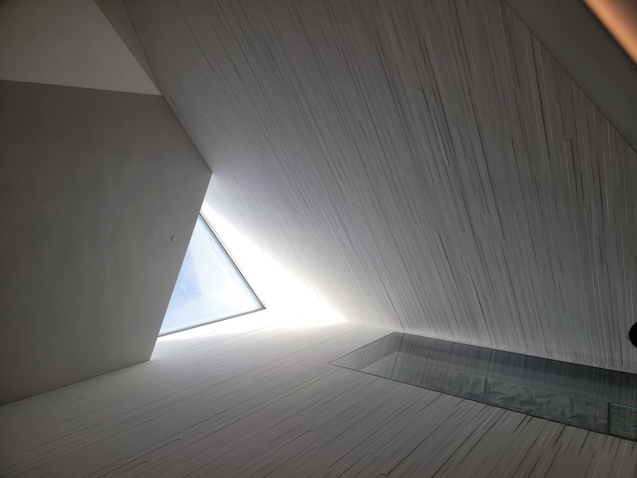
Joseph Louis is our senior designer with 25 years of experience in custom home design and project management.
Every design is a reflection of the owner's dreams and the passion
Tell us about your project and we will get you started with a consultation.

We look forward to working with you on you custom improvement project. Our process begins with a phone call to discuss your next dream and how we can help.
CONTACT US
410-844-1532
Joseph@firefly-technical-services.com
Firefly Technical Services: Building Your DREAMS

Our innovative projects are always keeping the competition on their toes. We specialize in real time services along the East coast and beyond. Browse through our website to learn more about us and our services.

